News Article
The rains we claim aren’t always on the plains
How dry has it been in Denver lately? The answer isn’t always clear because of three simple letters — DIA.
Here’s a quick quiz: What three things are critical to both precipitation monitoring and real estate? The answer is an old joke: location, location, location! And boy, is that ever true in Denver.
While statewide our snowpack stands at 93 percent of average as of Jan. 1, the city of Denver’s official snowfall totals are lagging way behind with only 8.2 inches for the season, compared to the average of 20.8 inches we usually see by this time of the year.
But that information comes with a caveat, thanks to three simple letters: DIA.
You see, the National Weather Service’s official monitoring station for Denver has typically been at the city’s airport. When measurements were taken at the old Stapleton International Airport, which was located closer to the center of the city, precipitation readings were much more consistent with the weather many Denver residents experienced.
But that changed when Denver International Airport opened and the official monitoring station moved as well. DIA is about 18 miles northeast of downtown Denver. Sitting on the wide-open plains of eastern Colorado, DIA is part of Denver and our service area, but the differences in temperature and moisture recorded there can vary significantly from the larger portions of our service area.
“We know DIA is not necessarily representative of the weather conditions many of our customers see,” said Mitch Horrie, a senior water planner at Denver Water. “However, since DIA is the official monitoring station for the National Weather Service, those results are what the public hears about much more often.”
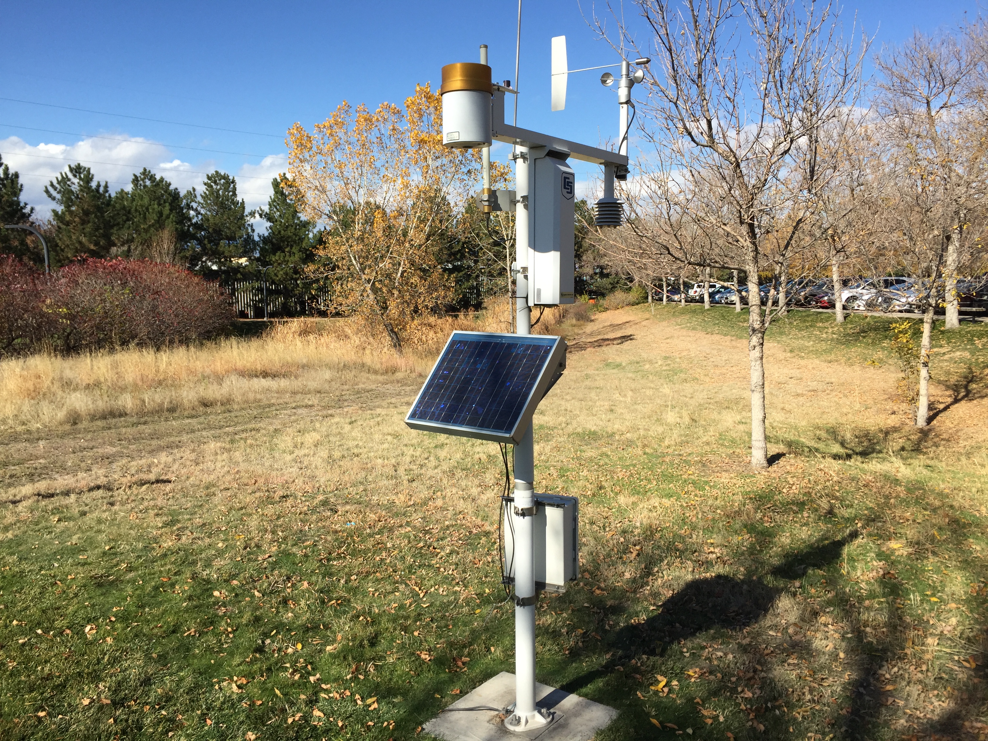
To give us a better picture of how much precipitation falls in our service area at any given time, Denver Water uses an average from multiple weather stations. Those locations include one at the old Stapleton Airport near I-70 and Quebec Street, one at our Administration Building near I-25 and Eighth Avenue and one near Waterton Canyon in southwest Littleton. These stations are all within our service area, yet are geographically dispersed to do a reasonable job of representing service area weather when averaged.
“It’s important that people understand what is really being measured when they hear about a Denver precipitation report,” Horrie said. “Customers should pay attention to the weather patterns in their area of the city, particularly when they’re considering irrigation needs for their landscape. One size does not fit all in this case.”
That being said, December 2018 was dry all around our service area. Our three weather stations averaged only 0.06 inches of precipitation in the Denver metro area. Normal precipitation is 0.65 inches. It was the driest December in the metro area since 2002 and the third driest December in the last 70 years (as far back as our records go). For 2018 overall, our three stations recorded an average measurement of 12.63 inches of moisture, compared to DIA which measured only 8.59. Again — location, location, location.
Denver Water will continue to keep an eye on all weather conditions, both in the mountains and in our cities as we plan for the short and long-term needs of our customers. Just remember (with apologies to My Fair Lady): The rains we claim aren’t always on the plains.
But understanding precipitation for your location is ultimately the foundation for effective irrigation. (Let’s see somebody write a song using those lyrics!)