Featured Photo
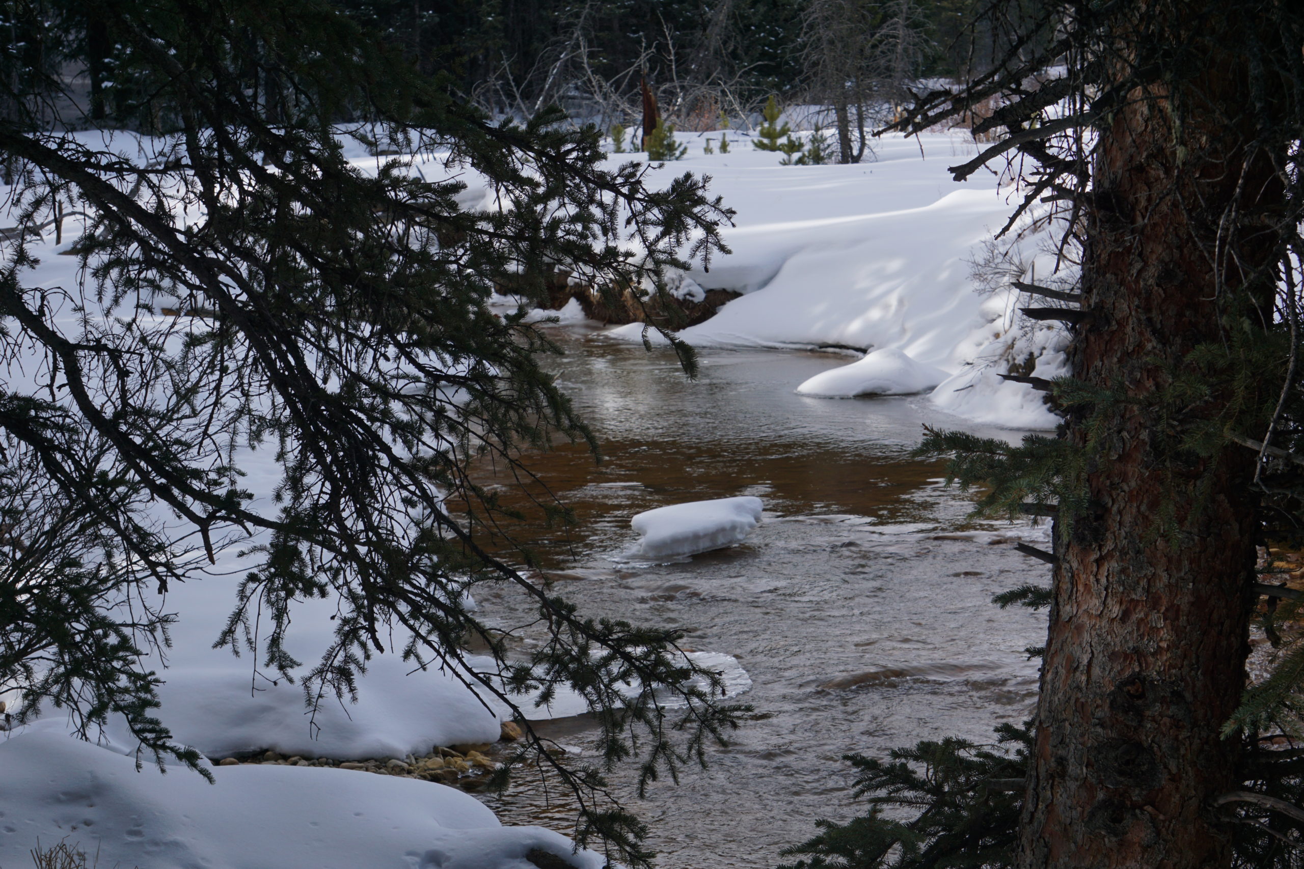
A snapshot from the journey of water: Geneva Creek
Water never stops its relentless journey downhill, even on cold, winter days high in the Pike National Forest.
Water flows softly down Geneva Creek along the Burning Bear Trail, just west of the boundary to the Mount Evans Wilderness Area and not far from the road that rises from U.S. Highway 285 up to Guanella Pass.
Elevation in this area is roughly 9,700 feet and the gentle terrain makes for a beautiful snowshoeing trip.
Geneva Creek begins its path high up in the peaks to the west of this area, an area that’s home to several peaks over 12,000 and 13,000 feet and old mining operations.
The creek’s flow begins in a region near the Continental Divide in roughly the same area where — thousands of feet below — the Roberts Tunnel carries water through a 23-mile concrete-lined tunnel, from Dillon Reservoir to an outfall near Grant.
From there, the creek — and the tunnel below — eventually spill their waters into the North Fork of the South Platte River, where it’s held in Strontia Springs Reservoir for eventual release to water treatment facilities and later to the homes and businesses of Denver Water customers.
To learn more about the Journey of Water, watch this four-part series of short videos that follows water’s path from high-mountain peaks to the city’s taps.