Fishing destination and scenic mountain terrain
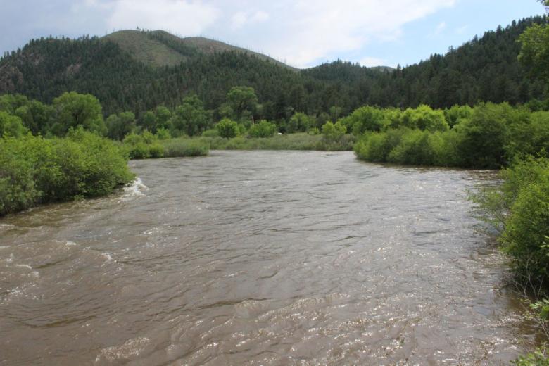
This stretch of the South Platte River has been a popular fishing spot for decades, earning it Gold Medal Waters status by the Colorado Wildlife Commission. In the 1890s, Stephen Decker built a general store and later a saloon in this area. The confluence is now a popular fishing and kayaking area.
South Platte stats
6,400
3 miles
River sections and access
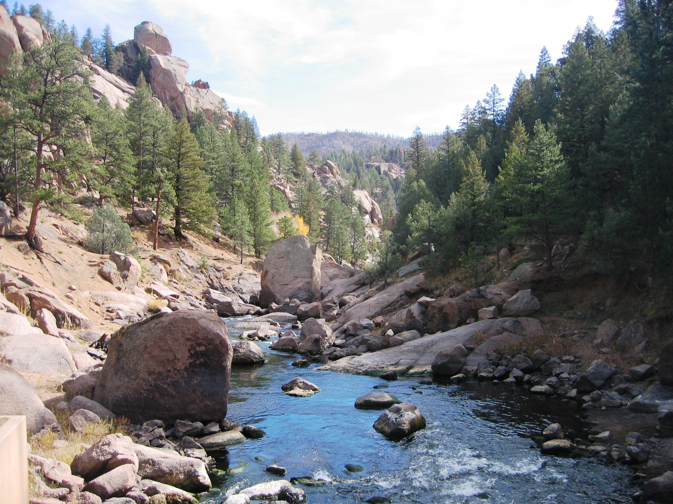
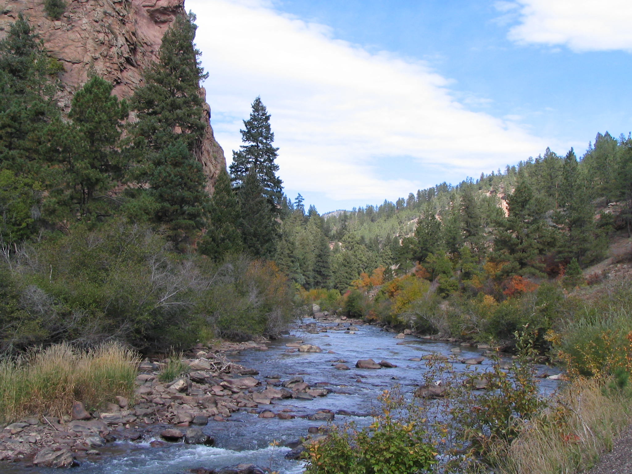
- Cheesman Canyon to Strontia Springs: From Cheesman Reservoir (elevation 6,800 feet), the South Platte River descends 6 miles through Cheesman Canyon to Deckers, a world-renowned fly fishing area. The river then bends north for about 17 miles to the confluence with the North Fork of the South Platte (elevation 6,100 feet).
- Buffalo Creek to confluence: The North Fork flows approximately 10 miles east from Buffalo Creek (elevation 6,600 feet) to the confluence. From the confluence, the river flows east to Strontia Springs Reservoir above Waterton Canyon at an elevation of 6,000 feet.
- River access map
Recreation notes
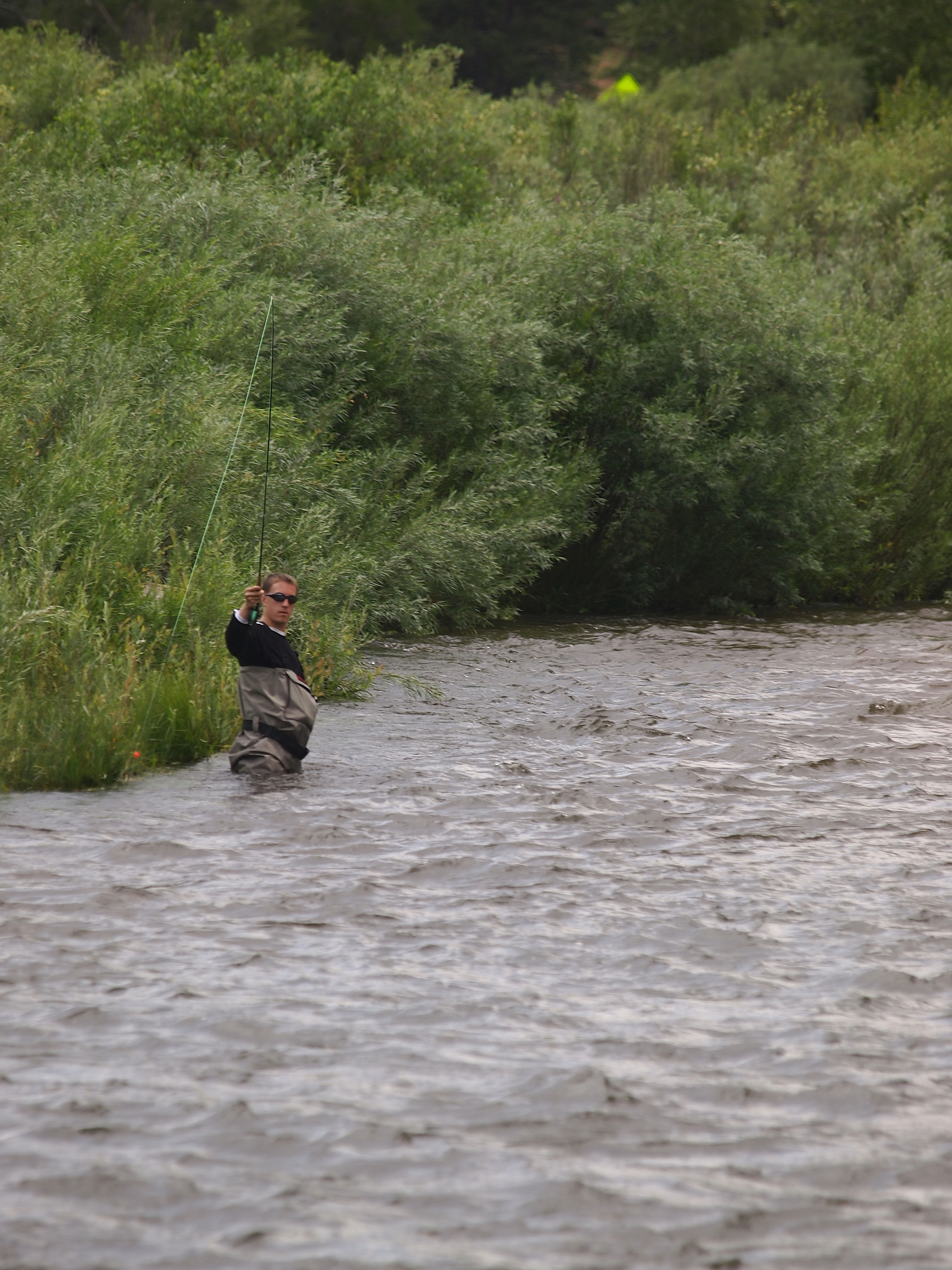
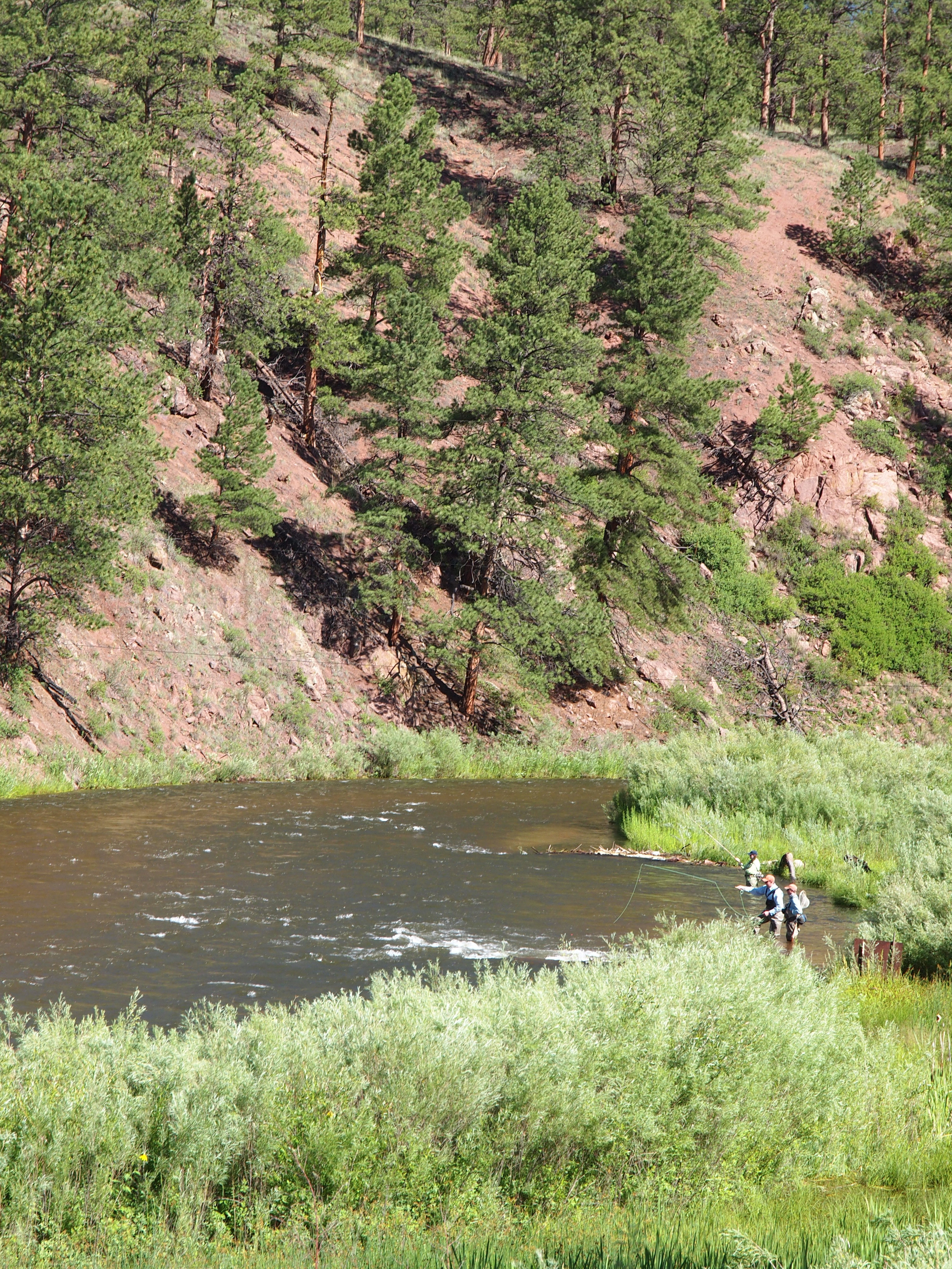
Fishing: The fishery is managed by Colorado Parks and Wildlife. In Cheesman Canyon, 3 miles below Cheesman Dam, are Gold Medal Waters (catch and release only). From Deckers to confluence, the river winds through private and public lands, but 14 miles are accessible to the public. Check streamflows: Trouts Fly Fishing and Blue Quill Angler.
Hiking and biking: Check Jeffco Open Space for directions and trail maps.
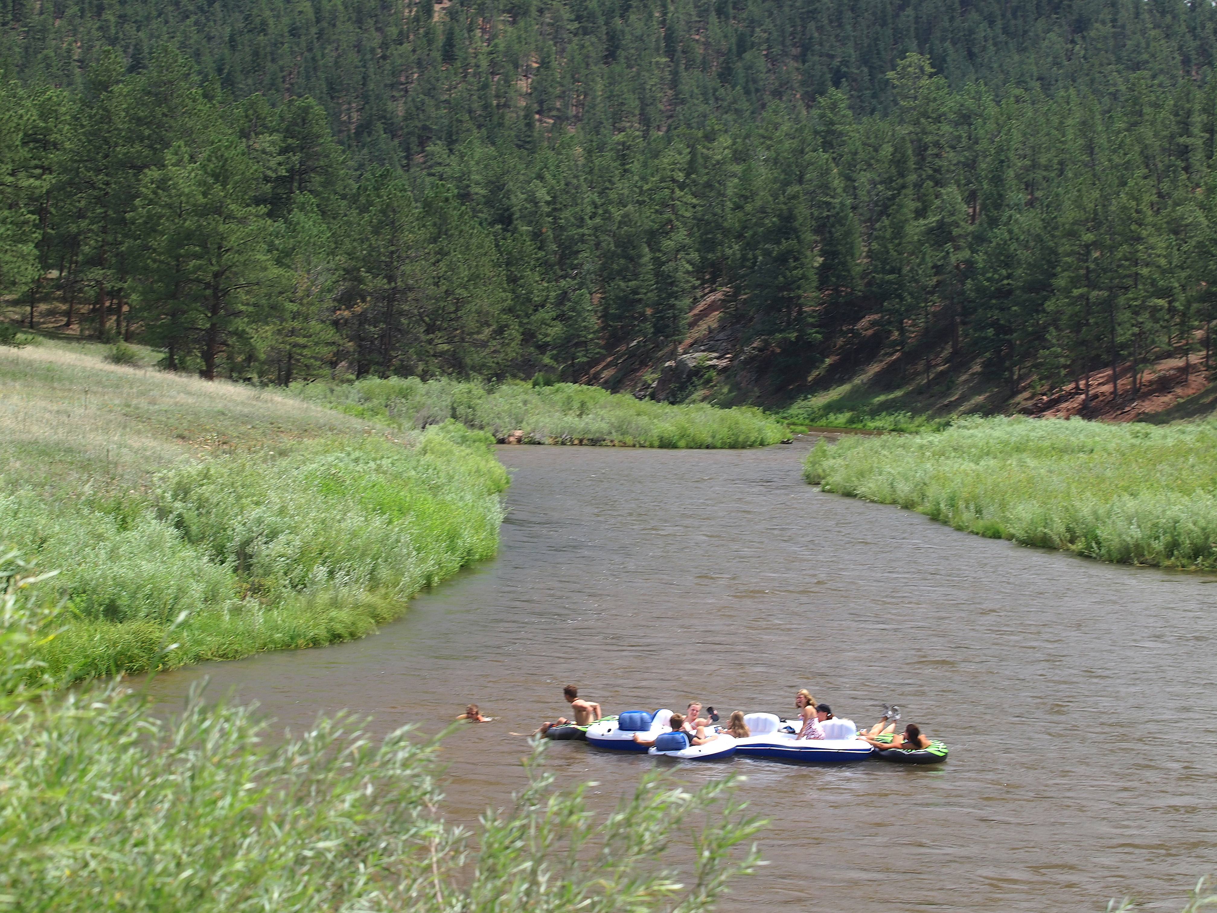
Portable crafts: Kayaks, canoes and inflatable crafts are allowed along the South Platte River. Kayaking is available on the North Fork but canoeing and inflatable crafts are not advised. Check South Platte River near Trumbull and North Fork of the South Platte at Bailey.
Camping and picnicking: Sites are provided along the South Platte River by the U.S. Forest Service, Pike National Forest.
Special events: Permits are required. Any type of group activity or organized recreation event over 25 people must be approved by Denver Water on Denver Water property. Contact Denver Water at 303-634-3744 or 303-634-3745 for more information.
Directions to Deckers
- From Denver: Take U.S. Highway 285 to Pine Junction. Drive south on Jefferson County Road 126 for about 25 miles to Douglas County 67 at Deckers.
- From Sedalia: Take U.S. 67 from Sedalia to Sprucewood. Stay on 67 south until you reach pavement at the South Platte River. Go 6 miles south on Douglas County 67 to Deckers.
Rules and regulations
South Platte River: Rules and regulations
General Information
- Parking is permitted only in posted areas.
- A fee is required at designated campsites.
- All commercial activity requires a permit on both U.S. Forest Service and Denver Water property.
- Special use permit is required for commercial fishing and guiding. A temporary moratorium on new special use permits is in place to prevent overcrowding and resource degradation. Please contact recreation@denverwater.org with questions.
- Shooting and hunting allowed per U.S. Forest Service and Colorado Parks and Wildlife regulations. No shooting or hunting on Denver Water property.
- Please respect private property along the river corridor. Note: Watercraft may pass through private property but are not allowed to stop on private property.
- For more information, visit U.S. Forest Service site for the South Platte River Corridor.
Sights