
Denver Water’s collection system covers about 2.5 million acres of land. We are committed to supporting and improving natural ecosystems and using resources wisely. We work with multiple federal agencies, nongovernmental organizations, private landowners and other Front Range water providers to identify, prioritize and protect at-risk watersheds, and to preserve, restore and ensure the health of watersheds. We work with mountain communities daily to proactively identify ways to operate our system so that flows are provided for rivers and streams.
Goals that have been met
- Denver Water supports the Coalition for the Upper South Platte in its planning and restoration of Horse Creek to reduce sediment loading into the Strontia Springs Reservoir by 50,000 tons per year.
- The From Forests to Faucets partnership with the U.S. Forest Service includes fuels reduction, restoration and wildfire prevention projects in priority watersheds.
- For more than 30 years, Denver Water's partnership with the Colorado State Forest Service has helped maintain the health and resiliency of forests on Denver Water Properties.
Current initiatives
Northwater Treatment Plant (Land and Ecosystems)
The Northwater Treatment Plant site was selected with careful consideration of the protection of surrounding waters and wetlands. Once construction is complete, the site will be restored with native, noninvasive grasses, trees and shrubs.
From Forests to Faucets
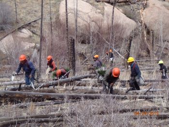
Healthy forest lands help ensure high-quality water is delivered to our reservoirs. Trees, shrubs and grasses naturally filter precipitation before the water reaches streams and rivers. Forests must be cared for over time to sustain these functions. Proper forest management helps enhance forest resilience to fire, insects and disease.
Investments in proactive forest management by Denver Water have already proved successful at protecting our watershed. In June of 2018, a wildfire broke out in Silverthorne, Colorado. With red flag drought conditions, a wildfire in the area would have caused $913 million in damages from the loss of homes and infrastructure. Instead, firefighters were able to aggressively combat the flames from fuel breaks implemented through From Forests to Faucets funding. No homes were lost from the wildfire.
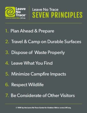
Leave No Trace
Denver Water is currently working with the Roxborough Leave No Trace team to train volunteers at Waterton Canyon.
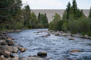
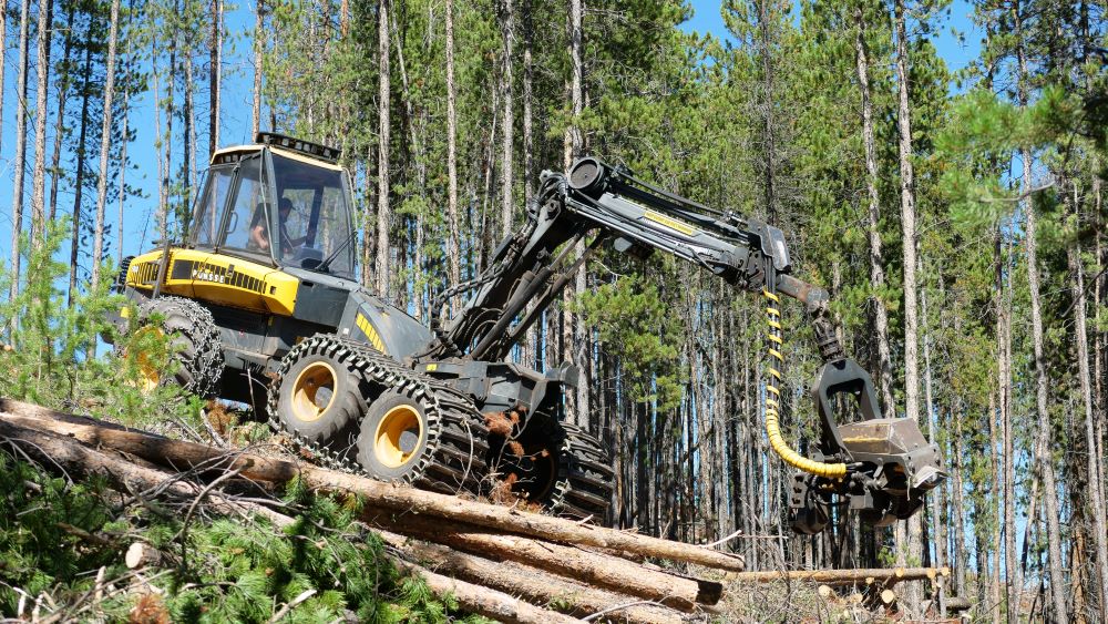
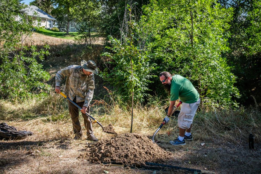
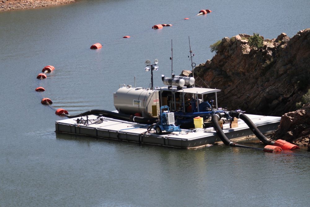
In pictures
Planning for our future

Land use and ecosystem stewardship
Goals:
- Convert 185 acres of the High Line Canal land to green infrastructure to benefit public recreation and to treat approximately 200 acre-feet (66 million gallons) of stormwater, by 2025.
- Develop drought-tolerant, pollinator-supporting landscaping on five Denver Water properties by 2025.
Standards:
- Uphold federal and state standards regarding the detection, monitoring and prevention of aquatic nuisance species within Denver Water’s collection system.
- Uphold state standards regarding detection, monitoring and eradication of noxious weeds on Denver Water properties through an integrated management plan.
Commitments:
- Create opportunities for innovation in watershed health through collaborations and research with the National Western Center redevelopment.
- Support the assessment and implementation of an additional 90,000 acres, on both federal and private lands, in the From Forests to Faucets partnership, for forest restoration and wildfire-risk reduction projects.
- Develop a watershed inventory, assessment, prioritization and plan for our South Collection System.
- Develop a 20-year plan to reduce sediment loading in Strontia Springs Reservoir.
- Increase survivability of revegetation efforts in the Hayman burn scar by selecting more resilient species and using innovative planting methodologies.